
Station data over 4 hours old (34) was found on the NOAA/NDBC server, buoy info is in grey where the stale data was encountered.
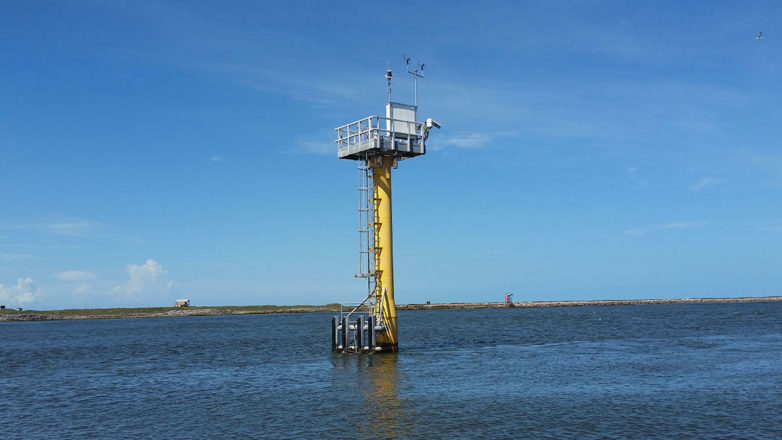
NOAA/NWS buoys are shown in red, Canadian in yellow, and CDIP in green. Move the pointer over the coloured bar for additional information. Click on a buoy for more detailed information from the source. Blue arrows are wave direction, red arrows are wind direction.
Java problems? See the Java notes for info.
My browser does not always show the most recent files, why? Check your browser cache configuration.